
-
Popular Now
-
-
Similar Forum Topics
-
 By jen
Wow...I packed a small soft side cooler with an ice pack at -4 F and inserted my Type K thermocouple sensor inside so I could monitor the temperature without opening. After 3 hours the inside temperature was 60 F...OMG! The ice pack was solid frozen. Standard temperature for safe storage is < 40 F. What I found by asking was that there should be no air space in the cooler. Packed with Ice preferably ice from connivence store (normally 0 F of less). Food should take up short day trip1:1 ratio.
Good coolers are expensive.
-
 By noticon75
Anyone ride at in the north east Kansas area? Tuttle Creek, Milford lake areas, Topeka?
-
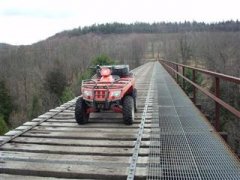 By mikeexplorer
We rode here the day before the event. This is a DCNR state forest trail system. The story behind the name is miners would put their bottles of whiskey in the local springs to keep them cold until their shift was over. Part of the trail system is on old strip mines so some areas are barren, others are full forest.
-

-

-
Recommended Posts
Join the conversation
You can post now and register later. If you have an account, sign in now to post with your account.
Note: Your post will require moderator approval before it will be visible.