
mikeexplorer
-
Posts
884 -
Joined
-
Last visited
-
Days Won
103
Content Type
Profiles
Forum
Gallery
ATV Magazine
Events Calendar
Downloads
Store
Community Map
Everything posted by mikeexplorer
-
Not sure of Honda's but Arctic Cats come with an accessory port in the rear of the machine that has power for attachments. You could make up a quick harness to connect to it and the trailer to light up the trailer lights. Another option is to tap into the tailight so the trailer can have running & brake lights.
-
You could also use Seafoam as an additive, it will also help keep the fuel system clean
-

Northcentral PA riding
mikeexplorer replied to mikeexplorer's topic in Northeast ATV & Off Road Forum
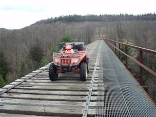
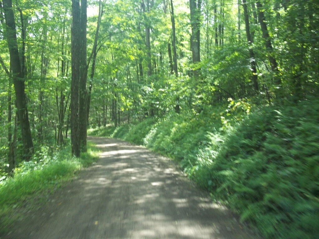
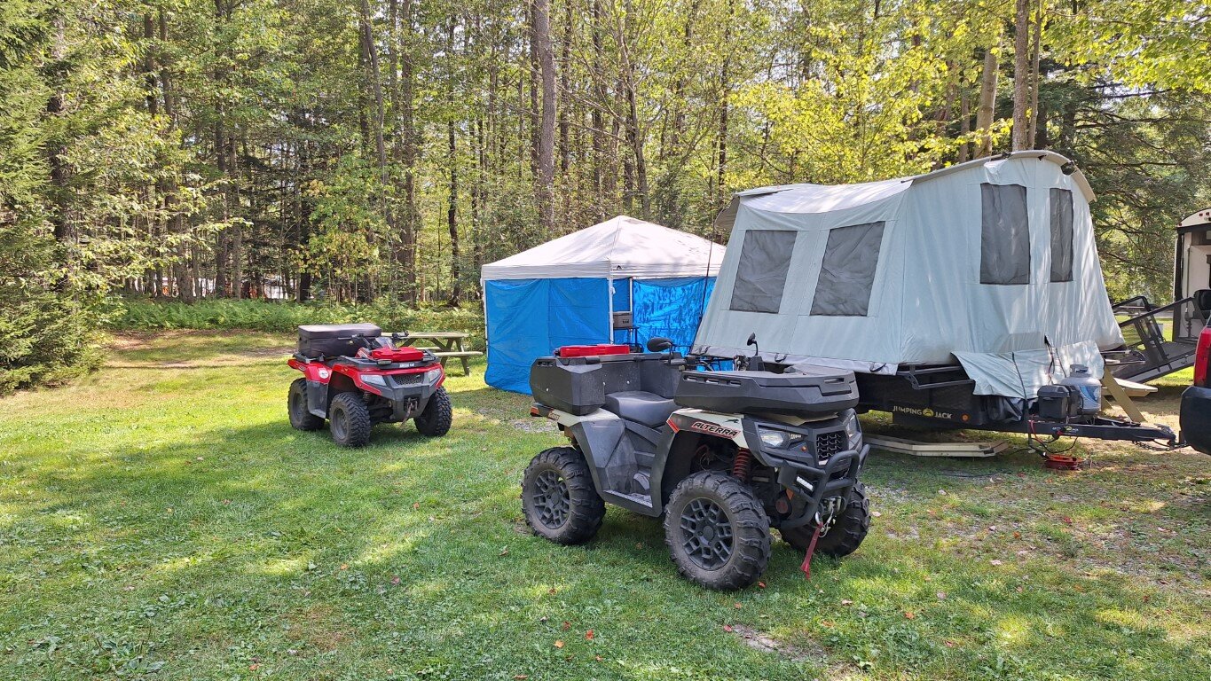
Yes we returned to camp each night. I picked up this machine back in June as a 2 year brand new leftover, of course what I saved on the machine I spent on accessories But I figured why not, it is set up the way I want it. I did hear the original owner bought the company back. Thank God, Textron really fu*ked up the company. I have been a dedicated Arctic Cat owner for years and hated the idea of switching. Going to take time to turn it around. Parts are still a SOB to get. My girl's quad is down awaiting parts right now and probably won't be ready for the next camping trip. I do have a spare machine, my old one, a 2012 450 which she can use if needed. Oh yeah I carry a gun. Here in PA you don't need a permit for open carry, conceal carry does require one. Out in Northcentral PA people here are cool. Two years ago I had three back to back camping trips, I was able to leave the trailer and quads at the campsite and go home unloaded. I left the tent and everything set up and nobody touched a thing. That saved a lot of time and fuel driving back & forth unloaded. -
Northcentral PA riding
mikeexplorer replied to mikeexplorer's topic in Northeast ATV & Off Road Forum
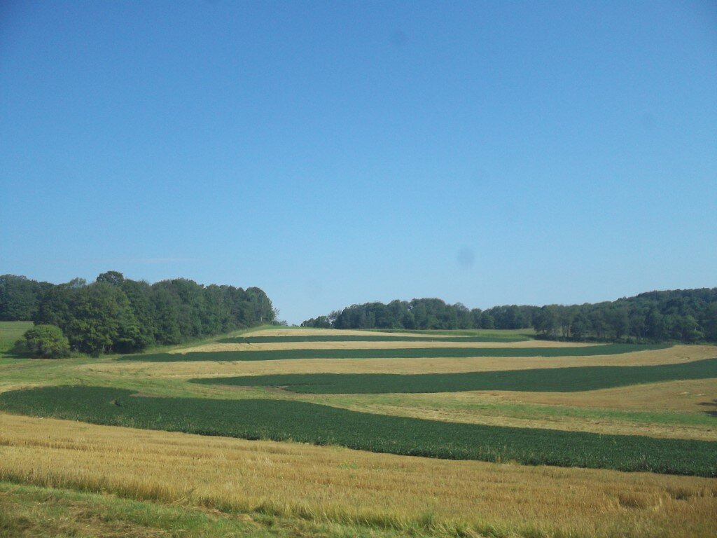
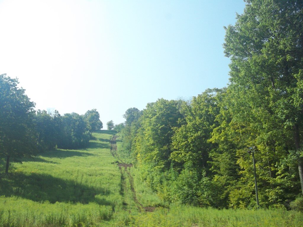
A few more pictures from the weekend. You can also ride into another state park called Lyman Run. Recently opened you can ride to Denton Hill State Park, which was a ski area, closed in 2014 but is now being rebuilt. Now called "Denton Go" They have added camping sites and cabins and plans to re-open skiing in 2028.
-
Northcentral PA riding
mikeexplorer replied to mikeexplorer's topic in Northeast ATV & Off Road Forum
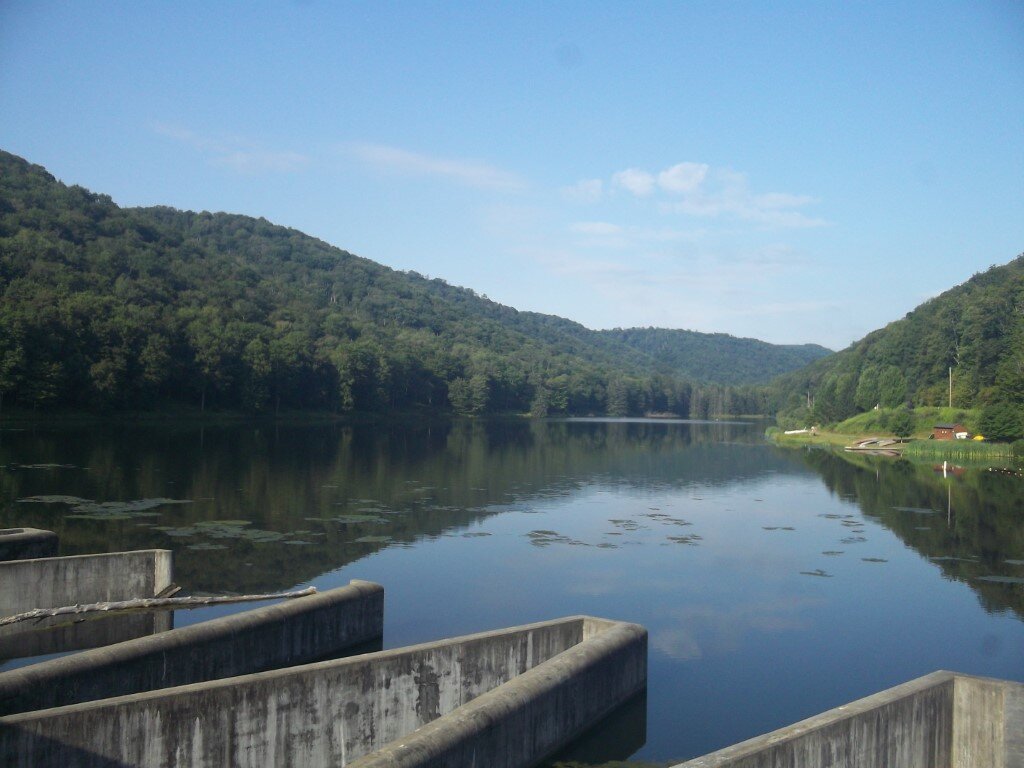
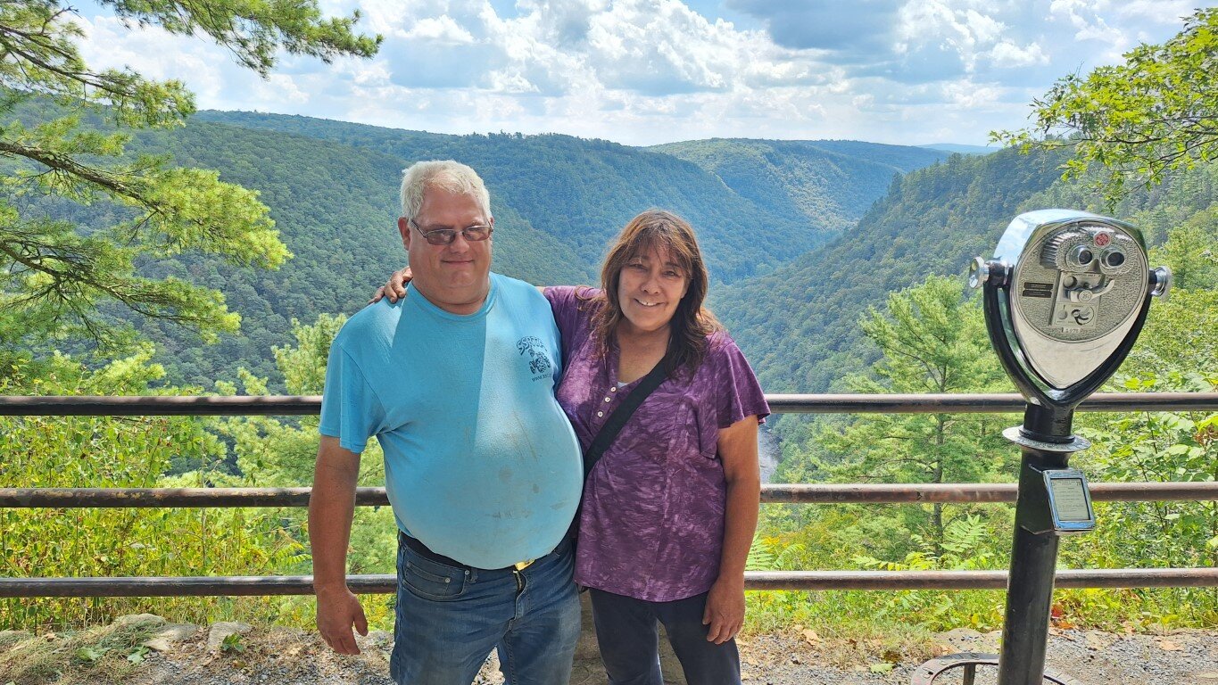
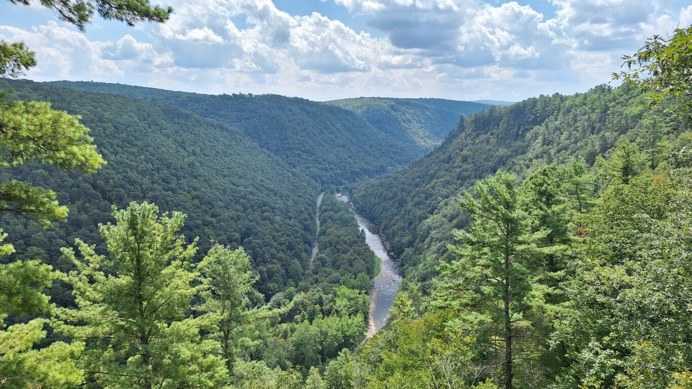
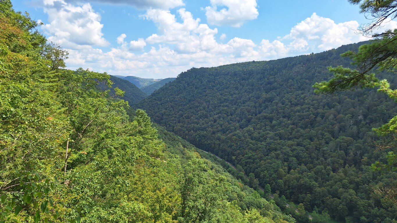
The tent trailer is a Jumping Jack. I posted about it here. The "river" is called Pine Creek. Down in the gorge is a rail-trail -
Northcentral PA riding
mikeexplorer replied to mikeexplorer's topic in Northeast ATV & Off Road Forum
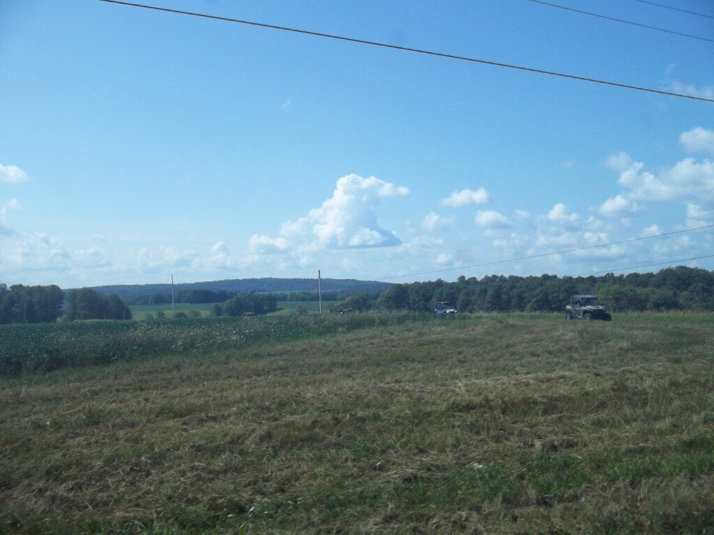
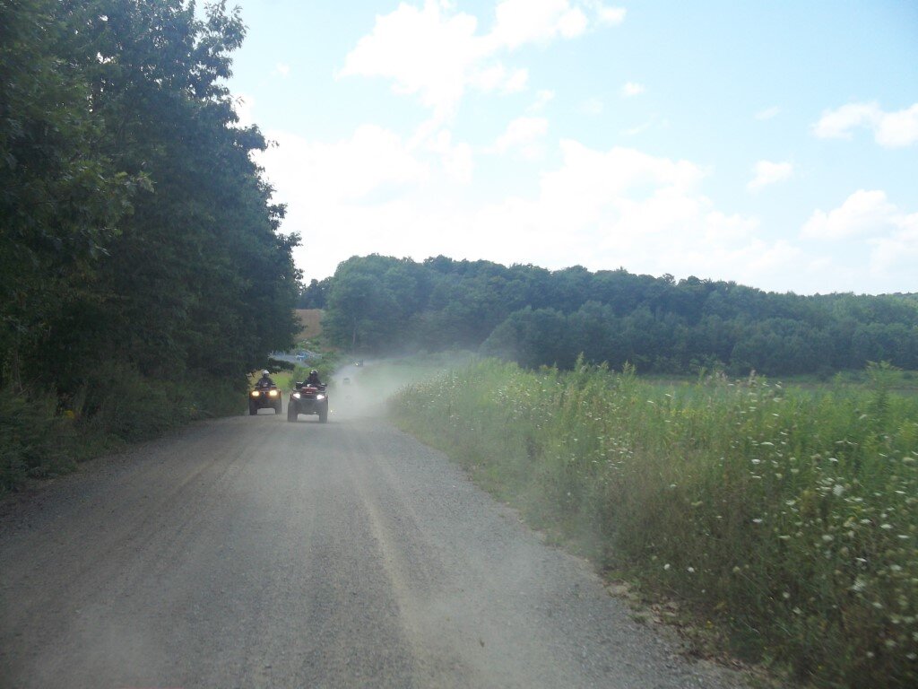
I did prepare for that possibility of needing fuel. There is a small town called Germania which used to sell gas but had to stop because the fuel tanks went bad. They just got a grant to replace them. They also sell wheel cheese which is excellent. We made it round trip without re-fueling but Michelle's quad was low on fuel and the gauge was blinking. She still had reserve fuel if needed. Since this was the first trip with my new quad I was not sure how far I could go with it since the motor is bigger then my old quad so I attached these two gallon rotopax just in case. I added chains to the lid of my cargo box so the weight of the fuel doesn't flex the lid.
-
ATV safety institute offers a free training course to anyone who purchases a new machine. If your new to riding, it is a good course. You could buy one of those GPS trackers and attach it to the machine. Spark arrest or is standard on ATV's. It should already have one.
-
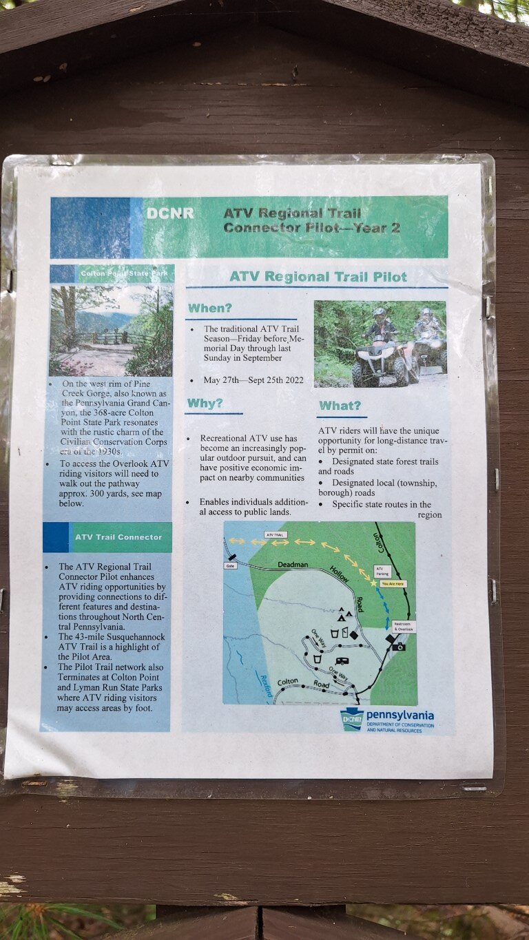
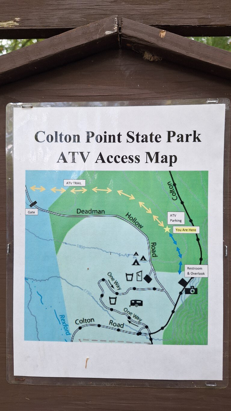
Just got back from a long weekend of riding out there. With the DCNR Pilot project they have used forestry roads and other roads to make connections to different areas. We were able to ride from the campground out to Colton Point state park to view the PA grand canyon. It was over 100 mile trip and fun.
-
Size wise it will be similar to a 2500 pound winch.
-
Old Members Reunion Topic - Where Are You Now
mikeexplorer replied to Ajmboy's topic in General Talk - Anything Goes!
Never thought I would be considered an "old timer" but yes -
That is pretty much standard nowadays, that price is much better then the first quote
-
Yes, my brother had to buy a mounting plate for his new Rancher. Hondas don't come "ready" to add a winch. The prices Jen is stating is high for a winch kit.
-
While wiring in a set of reverse lights I discovered the diagram is wrong concerning the shift position switch. It is shown as LHNRP but its backwards, PRNHL L/W and R/Y wires close on reverse, not L/W and GR/G. Found out the hard way and had to re-do it. Diagram is Alterra 600 LTD
-
Good idea on the tubing
-
2022 Arctic Cat re-designed their machines. I don't think they use Kymco parts anymore but are all done in the main factory in MN. My 2023 Alterra I bought last month is VERY different then any other Cat I owned. No more wet clutch, transmission is now separated from the engine. CVT has been moved more towards the rear. Thankfully you can download the service manuals for free.
-
Back in 2017 Arctic Cat was sold to Textron. They kept the Arctic Cat name on the snowmobiles, but changed them to Textron for the ATV's it was a disaster. They also shuddered most of the dealers since their intention was to sell machines through big box retailers instead. Finally realizing their mistake, they changed the name back to Arctic Cat in 2020. Tracker machines are also made by Textron, this is why you will see parts cross between the machines. Prior to the 2017 sale, the smaller ATV's up to the 400's used some Kymco parts. The engines were Kymco design and the smaller machines were almost rebranded Kymco;'s My girl had a 2010 366 machine and a lot of the parts cross referenced to a Kymco MXU 350. Presently she has a 2017 Alterra 400 which looks different, but remove the plastics and it is nearly identical to the 366. Fast forward to 2025, Arctic Cat was sold again, back to the original owner and his plans are to bring the brand back to its roots. This is why 2025 models have been delayed. I recently picked up a brand new leftover 2023 Alterra 600 LTD which is a re-designed machine compared to my older 2012 450. (got a good price for it) The ATV is very different as far as the build. So far it runs well but I have a bit to learn for servicing it. Mike
-
Kenda Bear Claw EX or Kenda Bear Claw K299 Tires
mikeexplorer replied to Gwbarm's topic in ATV Tires and Rims Forum
Michelle, she doesn't do online stuff I have front & rear cargo boxes, plus I added a GPS mount & mirrors, turn signals, horn, and aux lights. Not street legal, but some areas the secondary roads are open to ATV usage to get from trail to trail and drivers don't know hand signals. I am right now adding reverse lights but I f*cked up one wire so they come on when in high, not reverse. We are in Northeast PA, we ride in "coal country" the coal slag isn't sticky like what you describe, but it eats the bushings up.
-
Kenda Bear Claw EX or Kenda Bear Claw K299 Tires
mikeexplorer replied to Gwbarm's topic in ATV Tires and Rims Forum
No need for one, my girl has her own machine to drive.
-
My first trailer project.
mikeexplorer replied to Frank Angerano's topic in ATV Trailers, Haulers, and Attachments
You can buy a sand abrasive additive made by Drylock that you mix with the paint to give a non-slip surface. Lowes, Home Depot, and other places sells Drylock products. -
Kenda Bear Claw EX or Kenda Bear Claw K299 Tires
mikeexplorer replied to Gwbarm's topic in ATV Tires and Rims Forum
The rim guard is shown in your picture as the band around the tire to protect the rim from rocks. If you look at the rims on my machine, I don't have them. I bought this machine back in June and came with the Kendra tires, Better then the normal stock tires, but this is the "LTD" version of the Alterra so they come with better tires. (Normally the stock tires suck) They seem to be ok, but they are a bit rough and noisy on roads. I normally use Maxxis Bighorns on my other quads and although they are more expensive, I have found them to last the longest. I typically get over 6,000 miles from a set of Bighorns.
-
It does look like the terminals will accept #10 AWG wire. Is the switch rated for the current? Usually winches come with a box that contains a set of high current relays to switch the polarity to the motor and then there would be a low current side to a rocker switch to select winch in or out. The manual switch you are showing does the same thing , One thing, where you plan to mount the switch box, you will have 4 #10 wires to the box so you may not want to mount this on the handlebar. Mike
-
THHN wire is normally used in industrial wiring in conduit. If its wire you had handy, it would be ok to use, It is not as flexible. If you had to buy wire for your project RW90 is a better choice. Protecting it with that outer sleeve is a good idea since it will help avoid insulation rub through and an eventual short circuit. The spiral wrap is better choice then then split loom covering because it is thicker and provides better protection.
-
Make sure the ring terminals are rated to handle the amps. You could also use a thermal circuit breaker instead of a fuse. Auto parts stores sells them. If you draw over the rated amps, they warm up and open the circuit then re-close when they cool down. Also known as "Thermal overloads" commonly used on industrial motors. On my camping trailer, off of the battery my "main" fuse is a 30 amp self-resetting circuit breaker (same thing) then it breaks out to the smaller fuses. #10 stranded wire is borderline for the amp draw, but since this is for intermittent use for a winch verse a continuous draw it should be ok. Mike
-
My first trailer project.
mikeexplorer replied to Frank Angerano's topic in ATV Trailers, Haulers, and Attachments
Why did you install electric brakes? Maybe your state is different but here in PA less then 3,000 pounds weight and single axle does not require them. Looking at your trailer and machine I can't see that exceeding 3,000 pounds. -
You can get the service manual and schematics here also https://www.mymowerparts.com/pdf/Arctic-Cat-ATV-Repair-and-Service-Manuals/

.jpg.8dfb143a27571db902774b5bde97b4a5.jpg)
.jpg.313ff5177e6c0d1d8c65da9c0840a363.jpg)
.jpg.7540a1961a528b8424ab21527ab8bf1c.jpg)
.jpg.dbda42cadba2a6c101f5fe7c678c7fa4.jpg)
.jpg.a902895dd9d6235264bedaabbd90af93.jpg)
.jpg.30d7ed79e679d184c3b06c43c10eb160.jpg)
.JPG.46d7b9d3b3ca8a907d0a55e54a2d3d83.JPG)
.jpg.198c6e89655f75b18bfdafacaef2f41d.jpg)